
9.8Subsection · 5 applications
Urban Mobility Systems
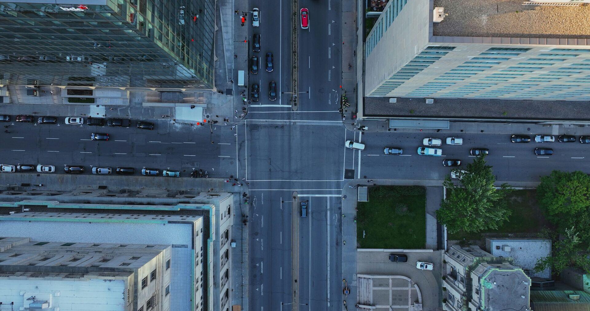
Satellite-Guided Urban Mobility Intelligence Flow
- 1ConstellationGNSS and SAR satellites track city movement
- 2DownlinkPositional and imagery data reach ground stations
- 3Analytics PlatformAI models map congestion, routes, and demand
- 4City & CommuterApps and operators receive live routing guidance