
08Section · 8 subsections · 40 applications
Borders, Public Safety, Law Enforcement & Critical Infrastructure Security
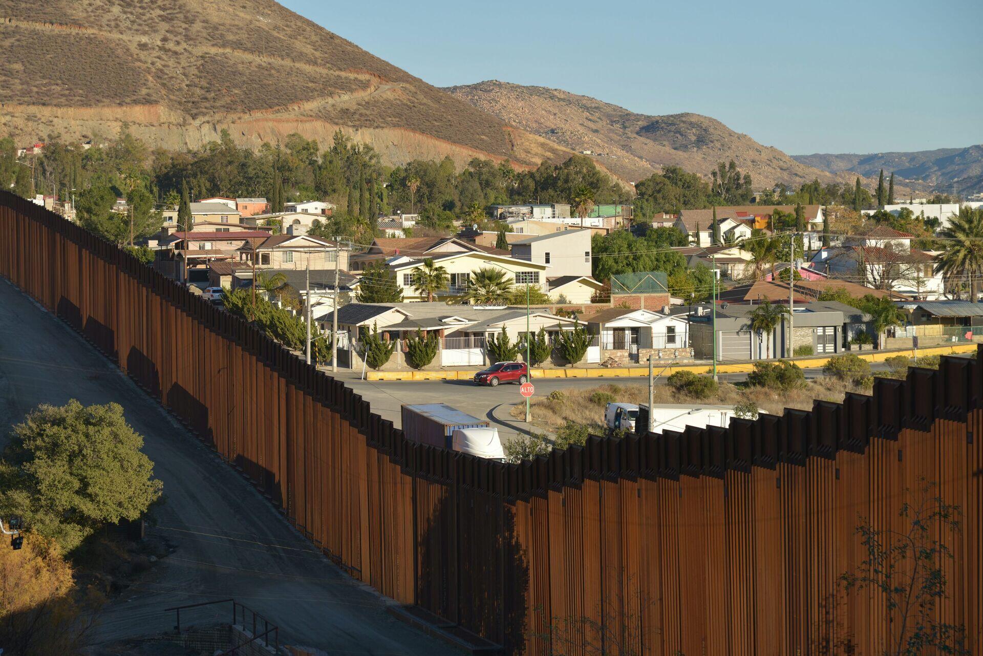
Satellite Surveillance for Border & Infrastructure Security
- 1SAR & Optical SatellitesAll-weather imaging of border zones 24/7
- 2Secure DownlinkEncrypted ground station receives raw imagery
- 3AI Threat DetectionAlgorithms flag anomalies, vehicles, intrusions
- 4Command & ResponseOfficers receive alerts, dispatch field units
8.1
Smart Borders
5 applications
- Border Activity Detection
- Cross-Border Incursion Alerts
- Migration Flow Mapping
- Border Wall & Fence Integrity Monitoring
- +1 more
Open subsection
8.2
Coast Guard Operations
5 applications
- Exclusive Economic Zone Surveillance
- Search and Rescue Coordination
- Anti-Smuggling Operations
- Maritime Patrol Tasking
- +1 more
Open subsection
8.3
Public Safety Intelligence
5 applications
- Riot & Unrest Monitoring
- First Responder Geolocation
- Suspect Movement Tracking
- Hazardous Material Spill Response
- +1 more
Open subsection
8.4
Crowd Intelligence
5 applications
- Mass Gathering Density Mapping
- Pilgrimage & Festival Monitoring
- Stadium & Venue Crowd Flow
- Evacuation Route Optimization
- +1 more
Open subsection
8.5
Customs Intelligence
5 applications
- Container Origin Verification
- Free Trade Zone Surveillance
- Smuggling Pattern Analytics
- Illicit Trade Route Mapping
- +1 more
Open subsection
8.6
Infrastructure Threat Monitoring
5 applications
- Pipeline Sabotage Detection
- Power Grid Threat Surveillance
- Communications Infrastructure Watch
- Transport Hub Security
- +1 more
Open subsection
8.7
Strategic Asset Protection
5 applications
- Nuclear Facility Surveillance
- Refinery & Petrochemical Watch
- Strategic Reserve Monitoring
- Government Site Security
- +1 more
Open subsection
8.8
Event Security Systems
5 applications
- Olympic & Mega-Event Monitoring
- G20-Class Diplomatic Security
- Sports Tournament Surveillance
- State Visit Logistics
- +1 more
Open subsection