
10Section · 8 subsections · 40 applications
Infrastructure, Construction, Transport Corridors & Civil Works
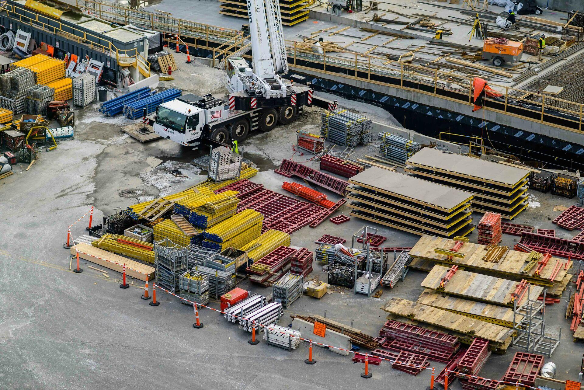
Satellite Guidance for Transport Corridor Planning
- 1SAR & Optical SatellitesCapture terrain, slope, soil conditions
- 2Ground Station DownlinkRaw imagery relayed every 12 hours
- 3GIS & BIM ProcessingRoute optimisation, clash detection, costings
- 4Site Engineers & PlannersReal-time alignment updates on tablets
10.1
Railway Intelligence
5 applications
- Rail Track Geometry Monitoring
- Encroachment Detection
- Slope Stability Around Tracks
- Construction Progress Tracking
- +1 more
Open subsection
10.2
Road Corridor Monitoring
5 applications
- Highway Construction Progress
- Road Asset Inventory
- Pavement Condition Indicators
- Roadside Land Use Change
- +1 more
Open subsection
10.3
EPC Monitoring
5 applications
- Mega-Project Schedule Verification
- Contractor Performance Audit
- Site Manpower & Equipment Indicators
- Stockpile Volume Estimation
- +1 more
Open subsection
10.4
Airport Infrastructure
5 applications
- Runway & Taxiway Monitoring
- Apron & Terminal Activity
- Airport Construction Tracking
- Airfield Pavement Distress
- +1 more
Open subsection
10.5
Utility Corridors
5 applications
- Transmission Line Vegetation Encroachment
- Pipeline Right-of-Way Monitoring
- Cable Trench Construction
- Substation Activity
- +1 more
Open subsection
10.6
Dam Safety
5 applications
- Reservoir Level Tracking
- Dam Wall Deformation (InSAR)
- Spillway Activity Monitoring
- Catchment Inflow Forecasting
- +1 more
Open subsection
10.7
Bridge Monitoring
5 applications
- InSAR Bridge Deformation
- Approach Road Settlement
- Pier Scour Risk Assessment
- Construction Defect Detection
- +1 more
Open subsection
10.8
Infrastructure Digital Twins
5 applications
- Highway Network Twins
- Rail System Twins
- Power Grid Twins
- Water Network Twins
- +1 more
Open subsection