
Infrastructure Digital Twins — Infrastructure, Construction, Transport Corridors & Civil Works — Satellize
10.8Subsection · 5 applications

Infrastructure Digital Twins
Two engineers on a construction site looking at a laptop displaying a 3D infrastructure model
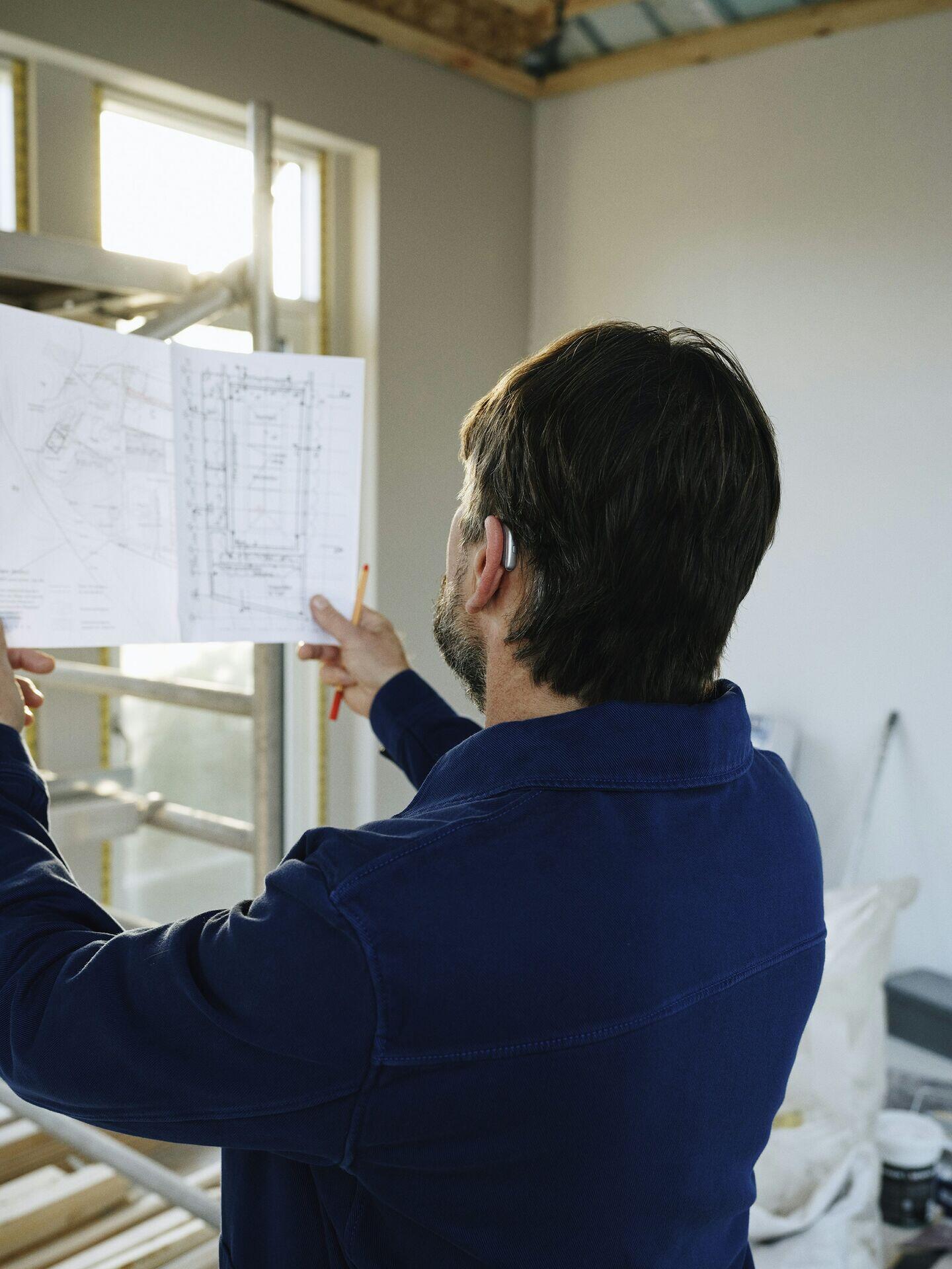
A man reviewing blueprints at a construction site gains precision and foresight through satellite-driven infrastructure digital twin pipelines.

Satellite-Driven Infrastructure Digital Twin Pipeline

  1. 1
    Observation constellation
    SAR and optical satellites capture millimetre-level deformation
  2. 2
    Ground downlink
    Raw imagery relayed to regional ground station
  3. 3
    Digital twin engine
    AI fuses satellite, IoT and BIM data into live 3D model
  4. 4
    Asset manager dashboard
    Alerts flag subsidence, cracks or load anomalies instantly
Satellite observations feed a continuously updated digital twin, giving infrastructure managers real-time structural health insights and early-warning alerts.