
06Section · 10 subsections · 51 applications
Weather, Disasters, Emergency Response & Resilience
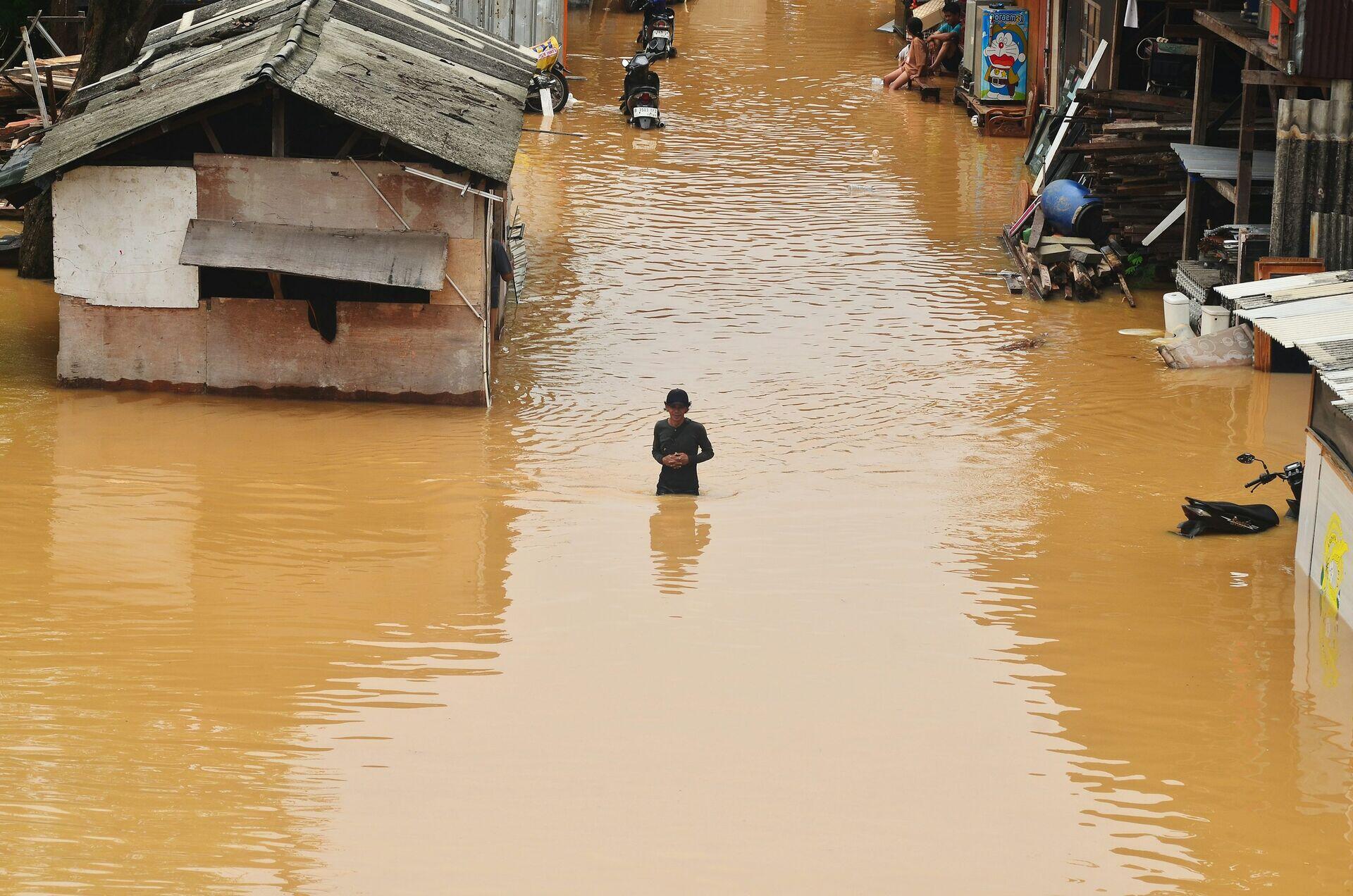
Satellite Early Warning From Space to Safety
- 1Weather SatelliteScans storms, rainfall, sea-surface temperature
- 2Ground StationReceives raw sensor data every 15 minutes
- 3Forecast ModelAI predicts flood paths and impact zones
- 4Mobile AlertSMS warnings reach at-risk households instantly
6.1
Flood Intelligence
6 applications
- Flood Extent Mapping
- Flash Flood Forecasting
- Urban Flood Modelling
- River Stage Monitoring
- +2 more
Open subsection
6.2
Wildfire Monitoring
5 applications
- Active Fire Detection
- Fire Spread Forecasting
- Burned Area Mapping
- Fuel Load Assessment
- +1 more
Open subsection
6.3
Cyclone Systems
5 applications
- Cyclone Track Forecasting
- Storm Intensity Monitoring
- Eyewall Replacement Detection
- Pre-Landfall Damage Modelling
- +1 more
Open subsection
6.4
Earthquake Response
5 applications
- Damage Proxy Mapping
- Building Collapse Detection
- Liquefaction Hazard Mapping
- Aftershock Risk Modelling
- +1 more
Open subsection
6.5
Humanitarian Logistics
5 applications
- Aid Distribution Routing
- Refugee Camp Monitoring
- Health Cluster Coordination
- Field Communications Recovery
- +1 more
Open subsection
6.6
Heatwave Intelligence
5 applications
- Urban Heat Island Mapping
- Heat Health Risk Forecasting
- Cooling Infrastructure Planning
- Vulnerable Population Targeting
- +1 more
Open subsection
6.7
Disaster Communications
5 applications
- Emergency Satellite Backhaul
- Cell-on-Wheels Coordination
- Public Warning Systems
- Responder Mesh Networks
- +1 more
Open subsection
6.8
Multi-Hazard Warning Systems
5 applications
- Compound Event Forecasting
- Cascading Risk Modelling
- National Early Warning Platforms
- Common Alert Protocol Distribution
- +1 more
Open subsection
6.9
Infrastructure Resilience
5 applications
- Critical Asset Vulnerability Mapping
- Power Outage Detection
- Roadway Disruption Tracking
- Resilience Investment Planning
- +1 more
Open subsection
6.10
Disaster Digital Twins
5 applications
- City Disaster Twins
- Watershed Twins
- Coastline Twins
- Critical Facility Twins
- +1 more
Open subsection