
Cyclone Systems — Weather, Disasters, Emergency Response & Resilience — Satellize
6.3Subsection · 5 applications

Cyclone Systems
Villagers carrying belongings on a flooded road as dark storm clouds gather overhead
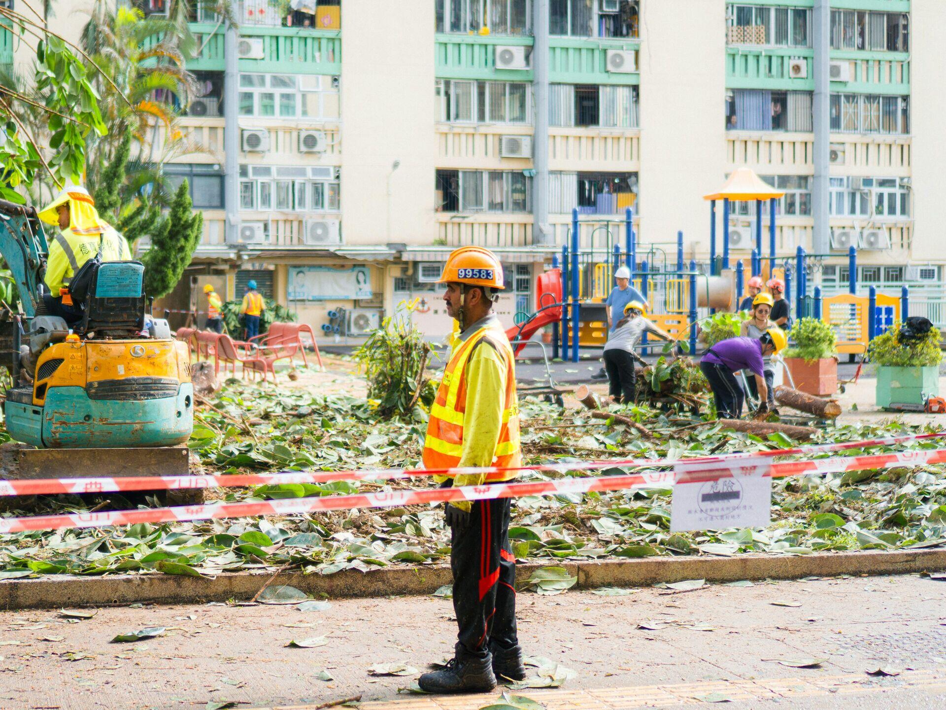
Workers clearing storm debris illustrate the recovery efforts that satellite cyclone tracking helps communities prepare for and minimize.

Satellite Cyclone Tracking: Storm to Safe Alert

  1. 1
    Observation
    Geostationary satellite images storm spiral every 10 min
  2. 2
    Downlink
    Raw imagery streamed to national met-office ground station
  3. 3
    Forecast Modelling
    NWP models predict track, intensity, landfall window
  4. 4
    Community Alert
    SMS and siren warnings reach coastal villages hours early
Continuous satellite observation feeds forecast models that push life-saving cyclone alerts to vulnerable coastal communities.