
Earthquake Response — Weather, Disasters, Emergency Response & Resilience — Satellize
6.4Subsection · 5 applications

Earthquake Response
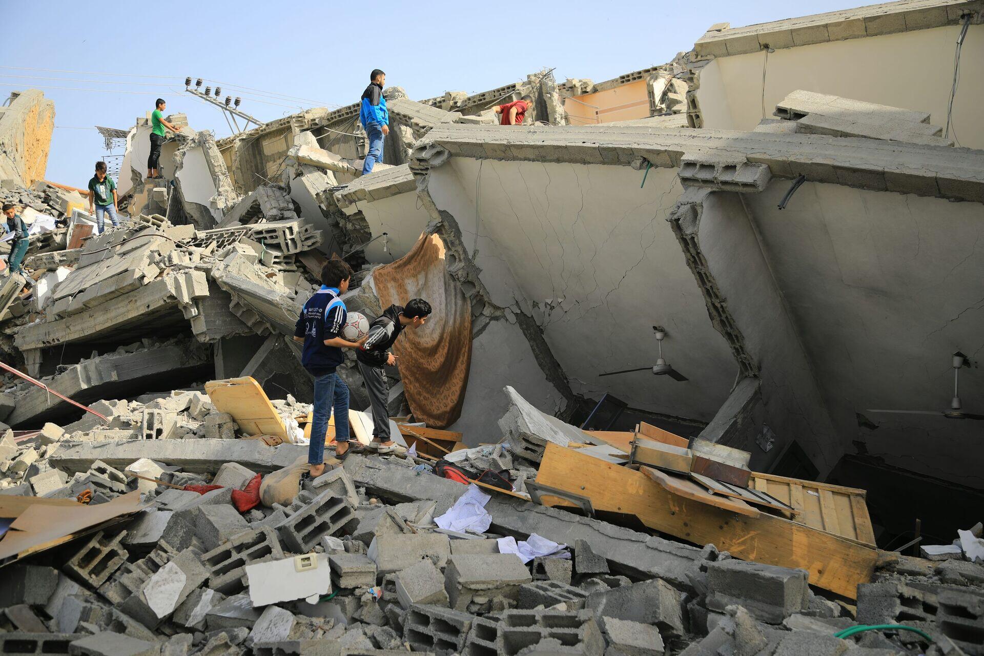
Rescue workers in orange helmets searching through rubble of a collapsed concrete building after an earthquake
Survivors gather beside a collapsed building where satellite rapid damage maps guide rescue teams to those most in need.

Satellite Rapid Damage Mapping for Earthquake Response

  1. 1
    SAR Constellation
    Synthetic aperture radar scans quake zone within hours
  2. 2
    Ground Station
    Raw radar imagery downlinked to regional hub
  3. 3
    Damage Detection
    AI change-detection flags collapsed buildings automatically
  4. 4
    Responder Alert
    Priority damage maps pushed to field teams' devices
SAR satellites overpass within hours of a quake, delivering AI-processed collapse maps directly to rescue coordinators on the ground.