
Humanitarian Logistics — Weather, Disasters, Emergency Response & Resilience — Satellize
6.5Subsection · 5 applications

Humanitarian Logistics
Aid workers unloading supplies from a truck at a refugee camp
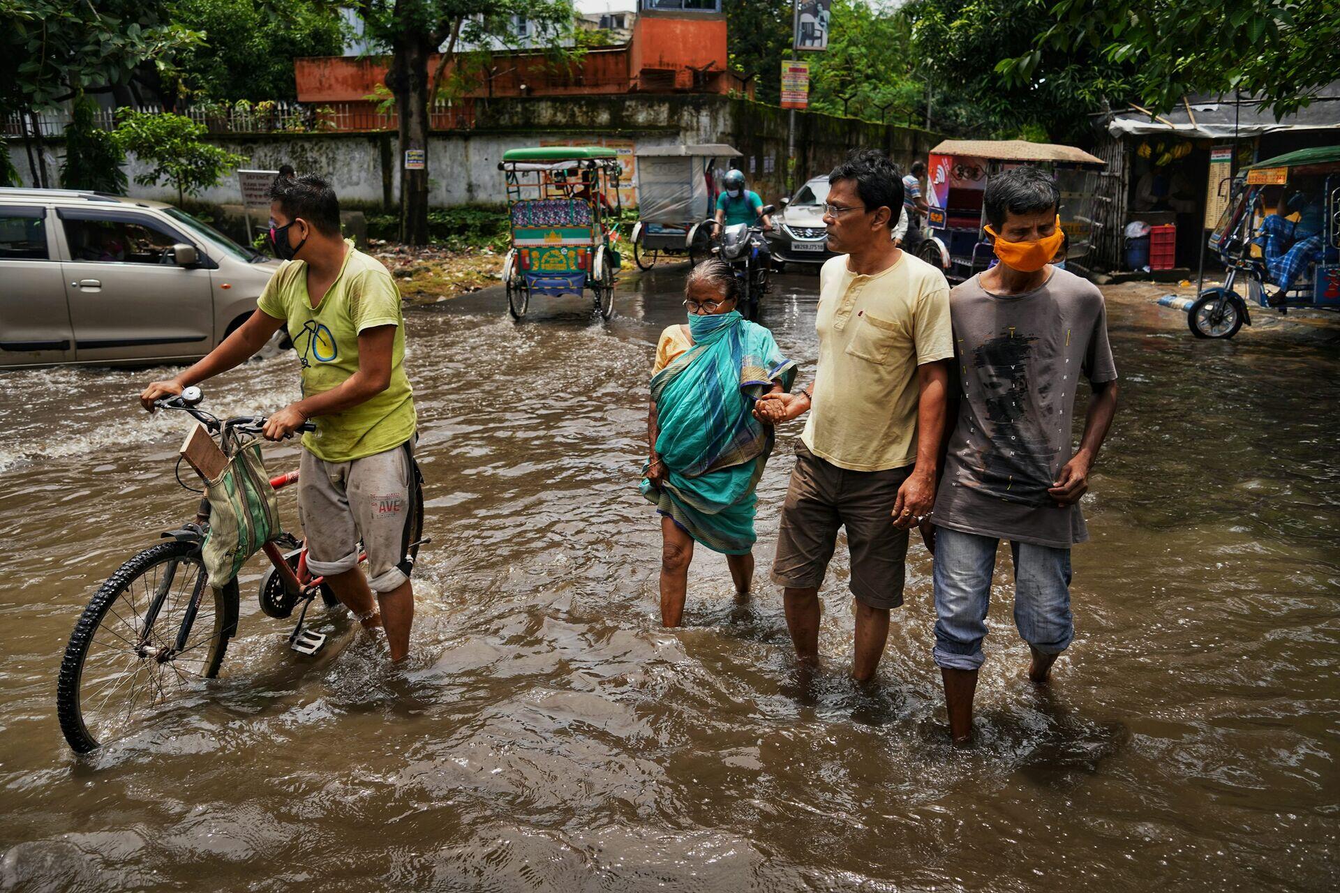
Satellite-guided logistics ensure aid reaches communities stranded in flooded streets when roads and communications fail.

Satellite-Guided Humanitarian Supply Chain in Crises

  1. 1
    Constellation
    SAR and optical satellites image disaster zones
  2. 2
    Ground station
    VSAT links relay position and imagery data
  3. 3
    Logistics platform
    AI routes convoys around road damage
  4. 4
    Field teams
    Coordinators receive live supply-drop guidance
Satellite imagery and positioning data flow through logistics platforms to direct aid convoys and field teams in real time.