
Wildfire Monitoring — Weather, Disasters, Emergency Response & Resilience — Satellize
6.2Subsection · 5 applications

Wildfire Monitoring
People fleeing or fighting an advancing wildfire through dense smoke and burning vegetation
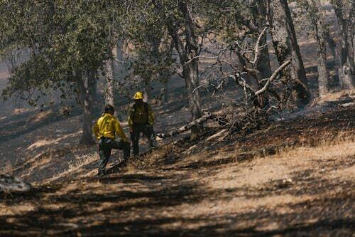
Two firefighters survey charred forest aftermath, a scene satellite heat detection aims to prevent through faster wildfire alerts.

Satellite Heat Detection to Rapid Fire Alert

  1. 1
    Thermal sensor
    MODIS/VIIRS detects hotspots at 375 m
  2. 2
    Downlink
    Raw radiance data beamed to ground station
  3. 3
    Fire analytics
    Algorithms flag ignitions, map spread rate
  4. 4
    Emergency alert
    SMS and app warnings reach local responders
Polar-orbiting satellites scan for heat anomalies every few hours, triggering automated fire alerts to ground teams.