
09Section · 9 subsections · 45 applications
Cities, Land Administration, Property & Urban Intelligence
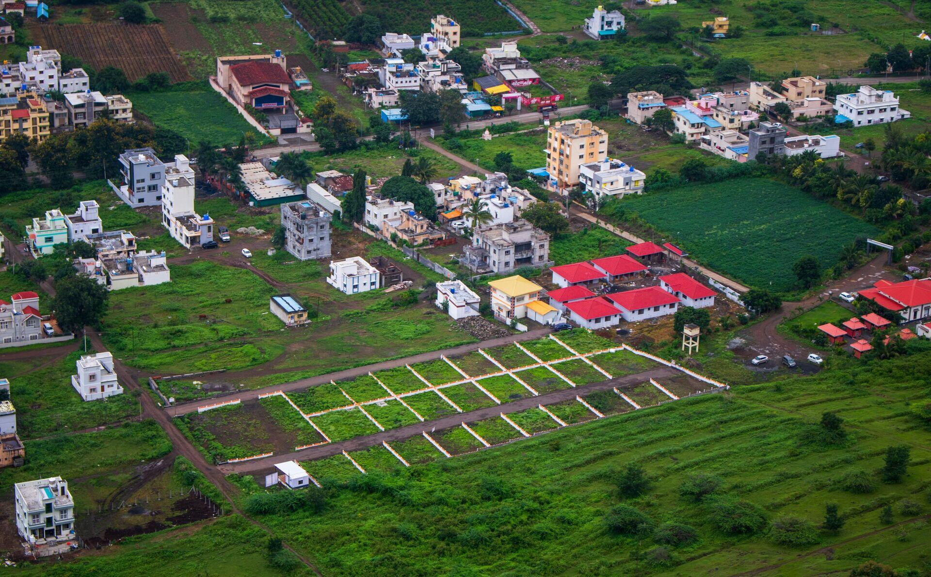
Satellite Cadastre: From Orbit to Title
- 1Imaging SatelliteSub-metre optical imagery of urban parcels
- 2Ground StationRaw scene downlinked, georeferenced to GNSS
- 3Cadastral EngineAI parcel detection, boundary change alerts
- 4Land RegistryDigital title issued, disputes resolved faster
9.1
Smart Cities
5 applications
- Urban Activity Indices
- City Twin Updating
- Service Quality Monitoring
- Energy Use Mapping
- +1 more
Open subsection
9.2
Urban Planning
5 applications
- Built-Up Area Detection
- Zoning Compliance Monitoring
- Master Plan Implementation Audit
- Transit-Oriented Development Tracking
- +1 more
Open subsection
9.3
Real Estate Intelligence
5 applications
- Property Valuation Inputs
- Construction Activity Monitoring
- Vacancy & Occupancy Indicators
- Commercial Footfall Estimation
- +1 more
Open subsection
9.4
Urban Heat Monitoring
5 applications
- Surface Temperature Mapping
- Cool Roof Verification
- Tree Cover Cooling Analytics
- Heat Vulnerability Indices
- +1 more
Open subsection
9.5
Municipal Intelligence
5 applications
- Solid Waste Monitoring
- Illegal Dumping Detection
- Stormwater Runoff Mapping
- Road Surface Condition Tracking
- +1 more
Open subsection
9.6
Informal Settlement Analytics
5 applications
- Slum Mapping & Growth Tracking
- Informal Economy Indicators
- Service Gap Identification
- In-Situ Upgrading Verification
- +1 more
Open subsection
9.7
Population Intelligence
5 applications
- High-Resolution Population Mapping
- Daytime/Nighttime Population Shifts
- Migration & Urbanization Tracking
- Demographic Change Inference
- +1 more
Open subsection
9.8
Urban Mobility Systems
5 applications
- Traffic Flow Estimation
- Public Transit Performance
- Curbside Activity Mapping
- Last-Mile Delivery Patterns
- +1 more
Open subsection
9.9
Cultural Heritage & Archaeology
5 applications
- UNESCO Site Monitoring
- Looting & Trafficking Detection
- Conflict-Zone Heritage Protection
- Archaeological Prospection
- +1 more
Open subsection