
Cultural Heritage & Archaeology — Cities, Land Administration, Property & Urban Intelligence — Satellize
9.9Subsection · 5 applications

Cultural Heritage & Archaeology

new
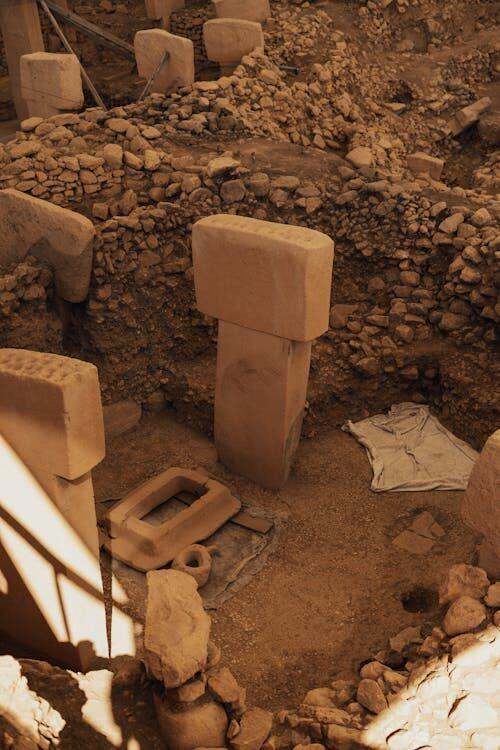
Archaeologists carefully brushing and recording artefacts at an excavation site
Prehistoric stone pillars at Göbekli Tepe reveal how satellite radar mapping uncovers ancient sites hidden beneath centuries of earth.

Satellite Radar Mapping Hidden Archaeological Sites

  1. 1
    SAR Satellite
    Penetrates canopy to reveal buried structures
  2. 2
    Data Downlink
    Raw radar returns sent to ground station
  3. 3
    Analysis Platform
    AI detects subsurface anomalies and features
  4. 4
    Heritage Teams
    Archaeologists prioritise field survey targets
Synthetic-aperture radar satellites reveal buried ruins beneath vegetation, guiding heritage teams to high-priority excavation sites.