
Smart Cities — Cities, Land Administration, Property & Urban Intelligence — Satellize
9.1Subsection · 5 applications

Smart Cities
People working at computer screens in a city operations control room
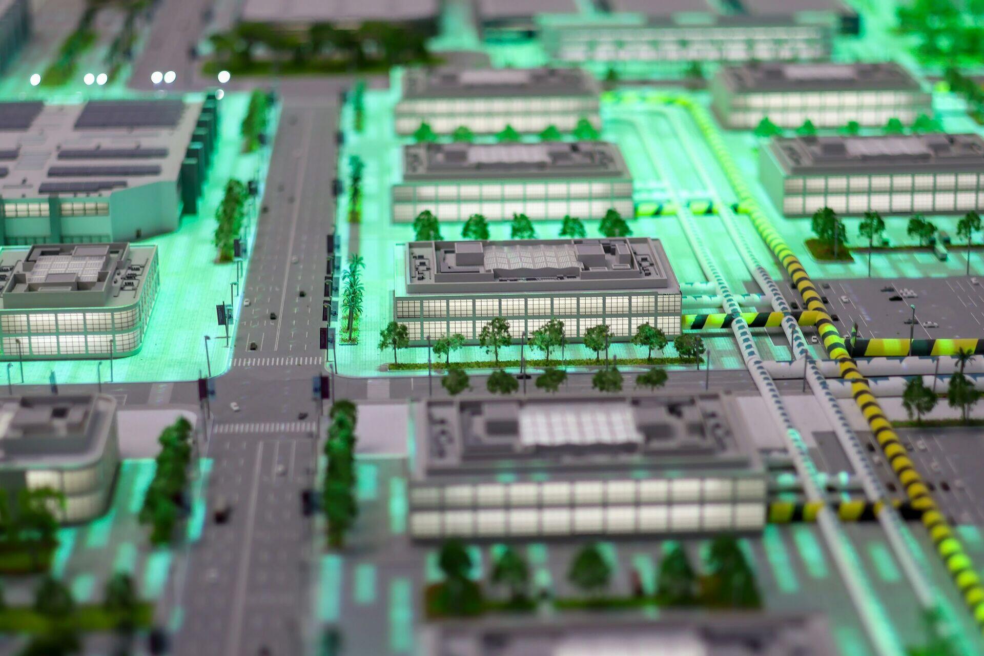
A model of a modern city illustrates how satellite intelligence helps planners design smarter, more connected urban environments.

Satellite Intelligence Powering the Smart City

  1. 1
    Observation Constellation
    Multispectral and SAR satellites image city daily
  2. 2
    Ground Station
    Raw imagery downlinked and time-stamped for ingestion
  3. 3
    Urban Analytics Platform
    AI detects congestion, heat islands, illegal construction
  4. 4
    City Dashboard
    Planners receive live alerts and resource-allocation maps
Satellites capture daily city imagery that AI platforms convert into actionable intelligence for urban managers and planners.