
9.7Subsection · 5 applications
Population Intelligence
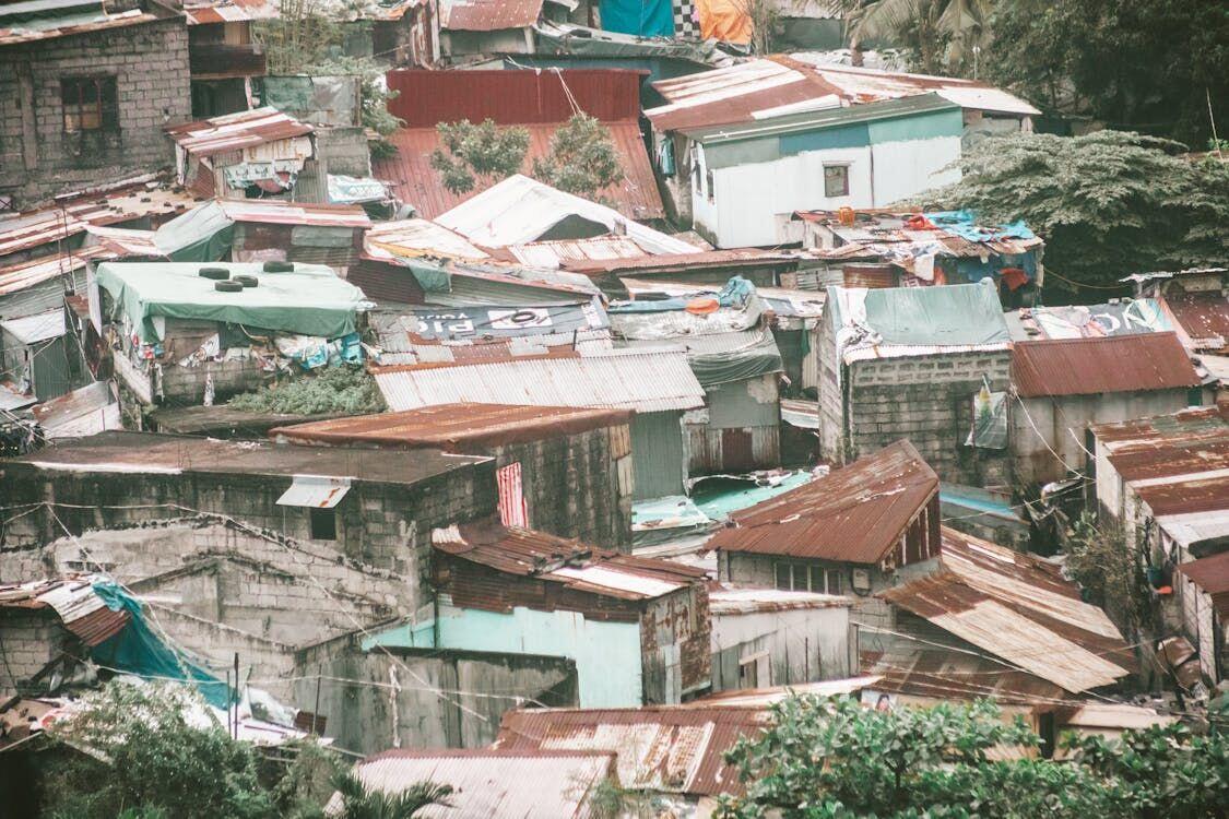
Satellite Population Intelligence: Space to City Hall
- 1Observation constellationSAR and optical satellites image urban extent nightly
- 2Ground downlinkRaw imagery streamed to regional ground stations
- 3Population analytics engineML models count structures, estimate dwelling density
- 4City planning dashboardOfficials view ward-level population heat maps