
03Section · 8 subsections · 43 applications
Agriculture, Food Security & Rural Land Systems
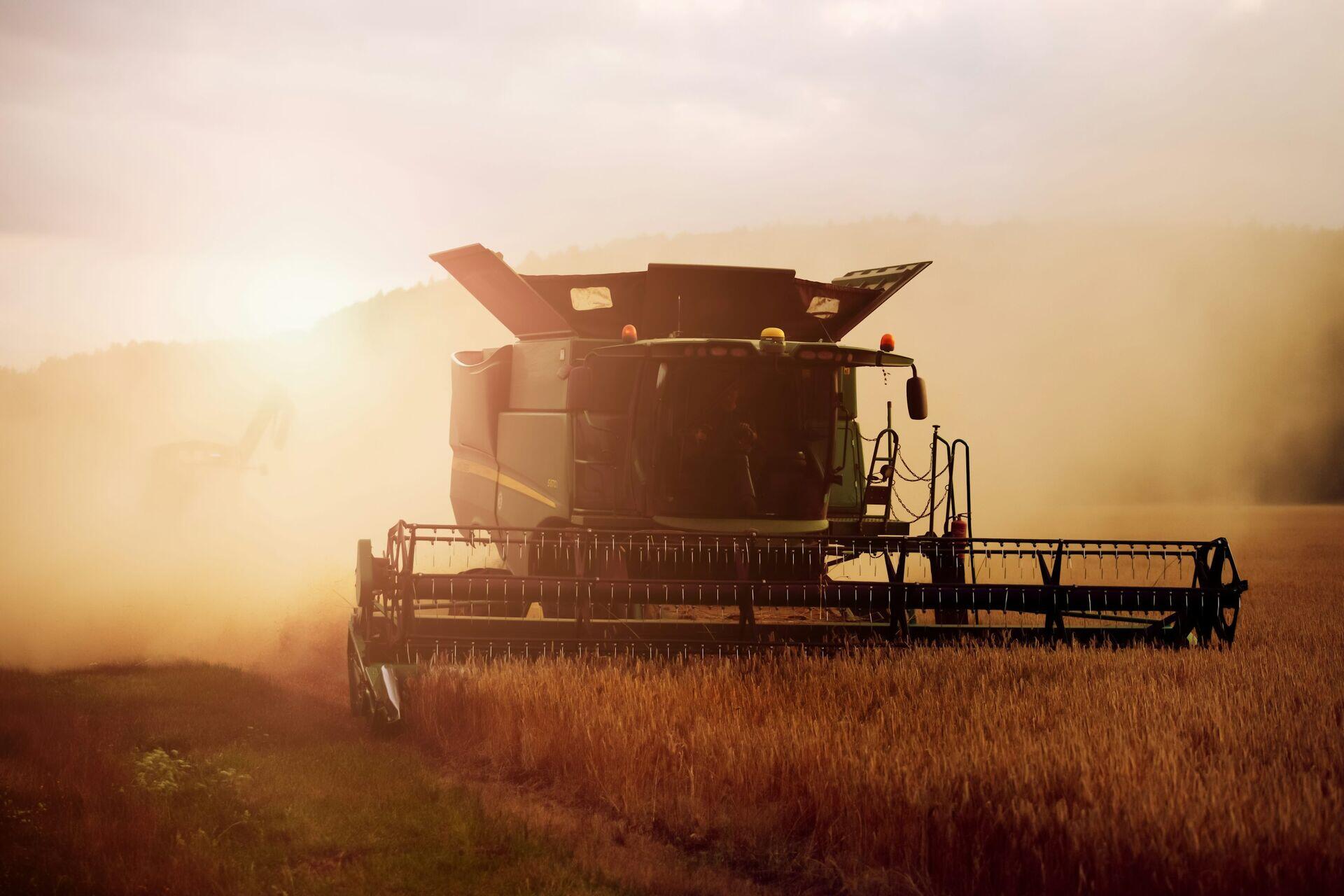
Satellite Crop Monitoring: Field to Farmer
- 1ObservationMultispectral satellite images farm parcels daily
- 2Ground stationRaw imagery downlinked, timestamped, archived
- 3Analytics platformNDVI, soil moisture, yield forecasts computed
- 4Farmer advisorySMS or app alert guides irrigation, harvest
3.1
Precision Agriculture
6 applications
- Crop Health Monitoring
- Precision Fertilizer Management
- Precision Irrigation
- Precision Seeding Systems
- +2 more
Open subsection
3.2
Food Security Systems
6 applications
- National Food Security Monitoring
- Crop Yield Forecasting
- Agricultural Production Shock Detection
- Agricultural Supply Intelligence
- +2 more
Open subsection
3.3
Agricultural Risk Intelligence
6 applications
- Pest & Disease Prediction
- Drought Risk Monitoring
- Agricultural Climate Risk
- Crop Failure Analytics
- +2 more
Open subsection
3.4
Smart Irrigation
5 applications
- Soil Moisture Monitoring
- Water Stress Monitoring
- Irrigation Automation
- Watershed Intelligence
- +1 more
Open subsection
3.5
Carbon Farming
5 applications
- Soil Carbon Monitoring
- Carbon Credit Verification
- Regenerative Agriculture Verification
- Carbon Sequestration Analytics
- +1 more
Open subsection
3.6
Agricultural Insurance
5 applications
- Crop Insurance Verification
- Parametric Agriculture Insurance
- Yield Insurance Analytics
- Farm Damage Assessment
- +1 more
Open subsection
3.7
AI Agriculture Systems
5 applications
- AI Farm Advisors
- Autonomous Farming Systems
- Satellite Farm AI
- Smart Greenhouse Monitoring
- +1 more
Open subsection
3.8
Livestock Monitoring
5 applications
- Pasture Monitoring
- Livestock Tracking
- Grazing Optimization
- Animal Health Intelligence
- +1 more
Open subsection