
3.4Subsection · 5 applications
Smart Irrigation
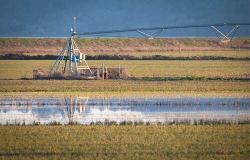
Satellite Data Directing Precise Crop Irrigation
- 1Satellite constellationCaptures NDVI, soil moisture, land surface temperature
- 2Ground downlinkRegional hub receives imagery every 12–24 hours
- 3Analytics platformEvapotranspiration models compute field water deficit
- 4Farmer alertSMS or app sends valve-open timing and volume