
Agricultural Risk Intelligence — Agriculture, Food Security & Rural Land Systems — Satellize
3.3Subsection · 6 applications

Agricultural Risk Intelligence
A farmer crouching among dry, yellowing maize stalks in a parched field
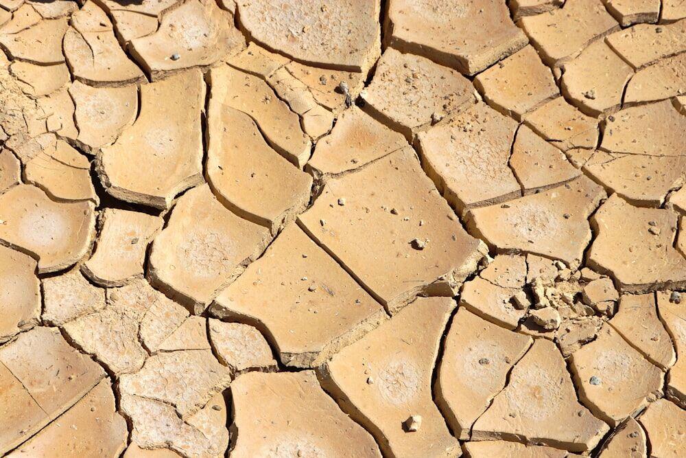
Cracked soil signals drought stress that satellite early warning systems now detect in time to protect harvests.

Satellite Early Warning for Crop Risk

  1. 1
    Observation
    SAR and optical satellites map crop stress
  2. 2
    Ground station
    Daily imagery downlinked, georeferenced
  3. 3
    Risk analytics
    NDVI, soil moisture, yield-loss models run
  4. 4
    Farmer alert
    SMS risk scores reach rural mobile phones
Satellite observations feed automated crop-stress models that deliver actionable risk alerts directly to smallholder farmers.