
AI Agriculture Systems — Agriculture, Food Security & Rural Land Systems — Satellize
3.7Subsection · 5 applications

AI Agriculture Systems
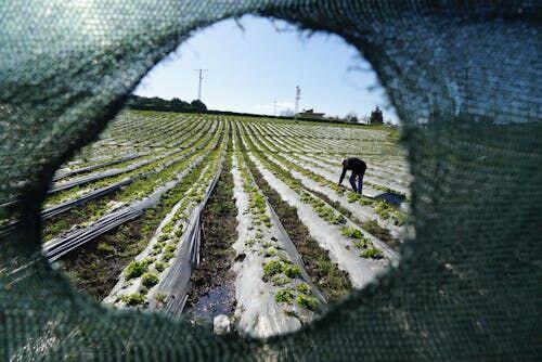
Farmer standing in a green crop field looking at a smartphone screen
A farmer tending lettuce beneath open skies receives satellite-powered crop advisories that turn field observations into smarter harvests.

Satellite AI Crop Advisory: Field to Farmer

  1. 1
    Satellite constellation
    Multispectral imagery captured every 3–5 days
  2. 2
    Ground downlink
    Raw scene tiles sent to regional ground station
  3. 3
    AI analytics platform
    NDVI, pest risk, and yield models processed
  4. 4
    Farmer mobile alert
    Actionable SMS or app advisory per plot
Satellite multispectral data flows through AI crop models to deliver plot-level advisories directly to smallholder farmers.