
9.3Subsection · 5 applications
Real Estate Intelligence
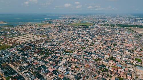
Satellite Data Powering Urban Property Intelligence
- 1ObservationVHR optical and SAR satellites capture city
- 2Downlink & ArchiveImagery timestamped, tiled, cloud-stored
- 3Analytics EngineChange detection, footprint extraction, valuation models
- 4Property PlatformPlanners and agents access real-time parcel insights