
Municipal Intelligence — Cities, Land Administration, Property & Urban Intelligence — Satellize
9.5Subsection · 5 applications

Municipal Intelligence
City planner studying a large digital map on a monitor in a busy municipal office
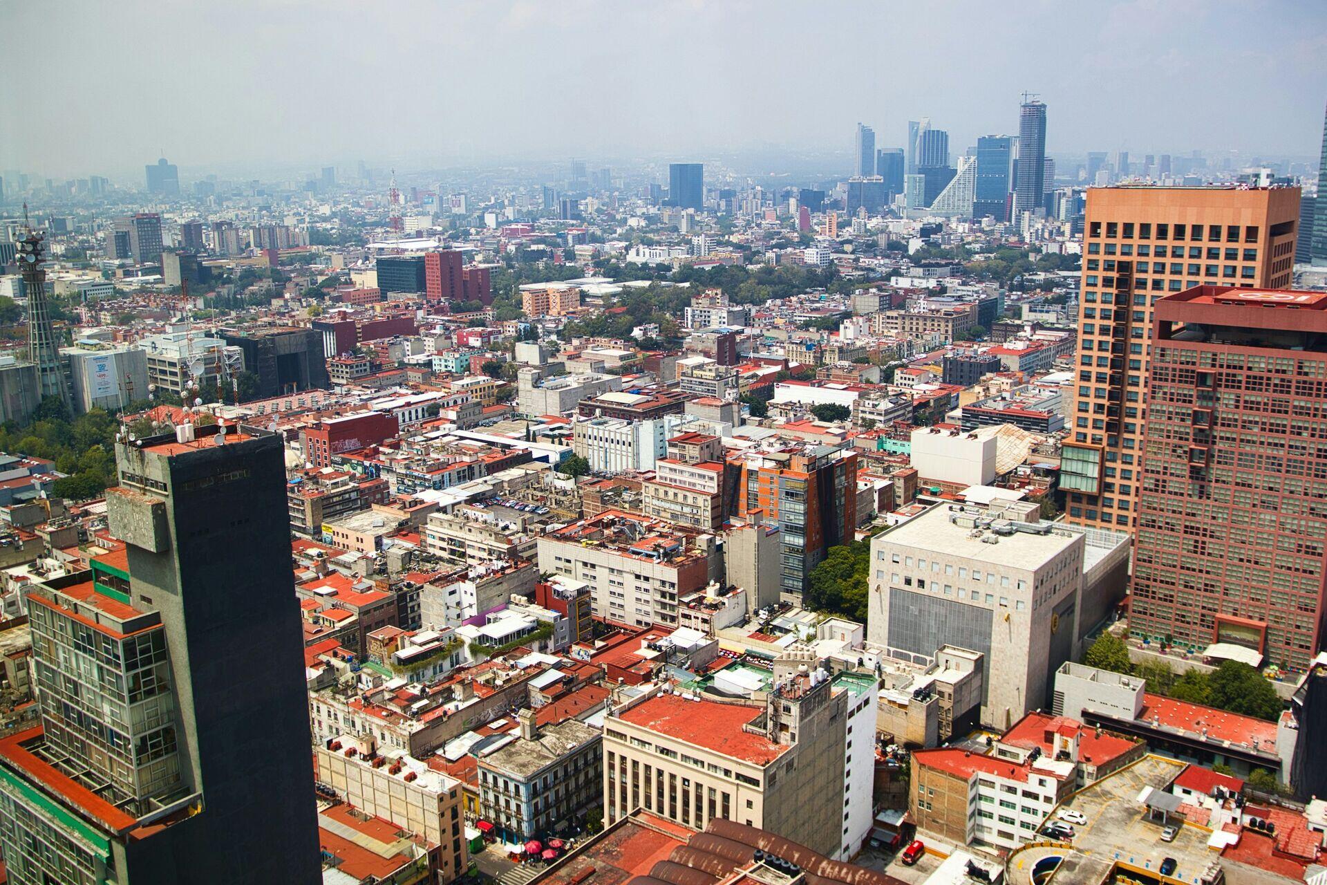
Sprawling urban skylines like this one are increasingly optimized through satellite data, making cities safer and more efficient for residents.

Satellites Powering Smarter City Management

  1. 1
    Observation Constellation
    SAR and optical satellites map urban change
  2. 2
    Ground Station Downlink
    Raw imagery relayed every 12–24 hours
  3. 3
    City Intelligence Platform
    AI detects illegal builds, flooding, road decay
  4. 4
    Municipal Dashboard
    Officials allocate budgets and dispatch crews
Satellite imagery flows through AI analytics into a live municipal dashboard, helping city officials make faster, evidence-based decisions.