
Infrastructure Resilience — Weather, Disasters, Emergency Response & Resilience — Satellize
6.9Subsection · 5 applications

Infrastructure Resilience
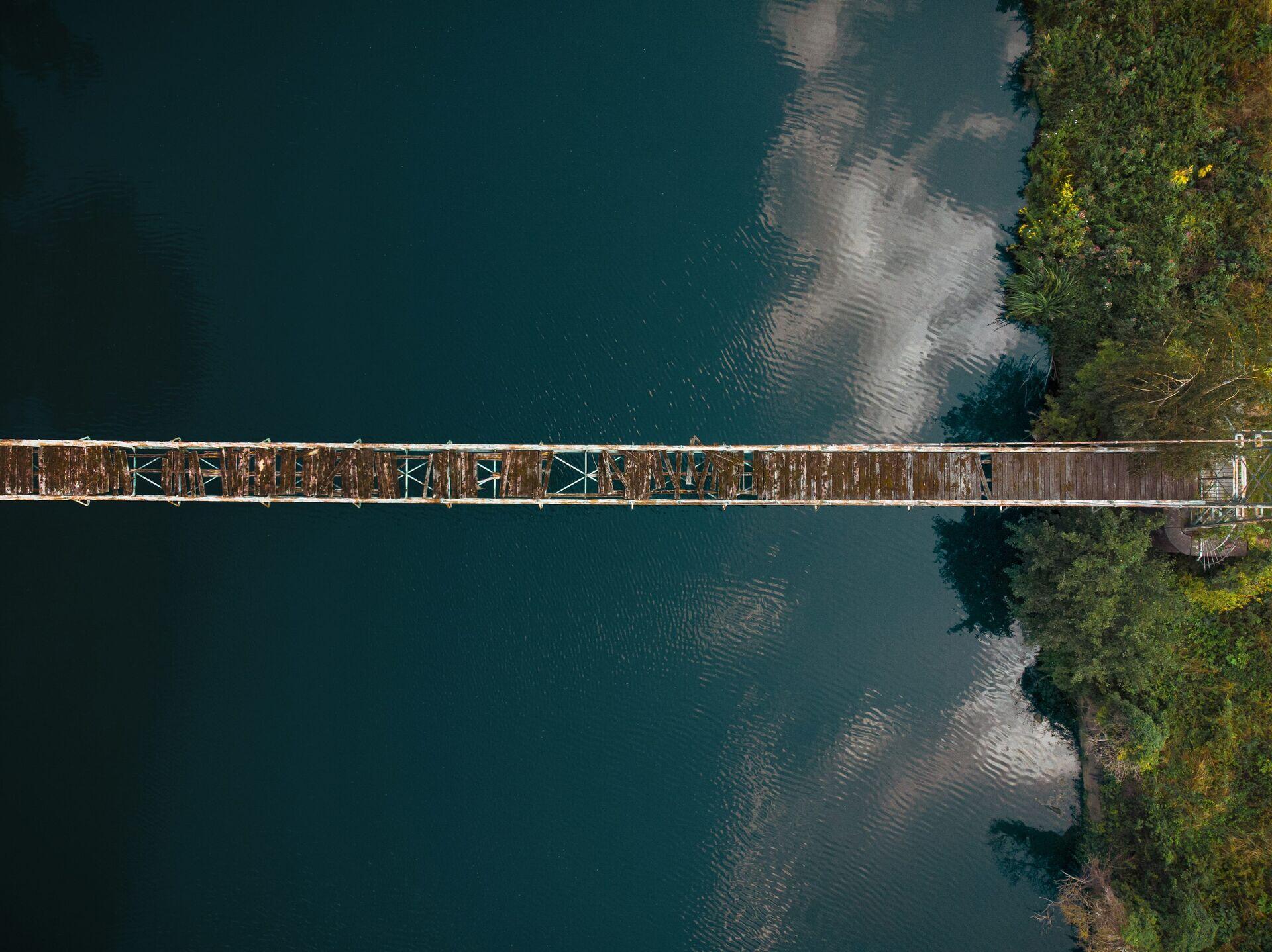
Engineers in high-visibility vests examining a flood-damaged road or bridge in a rural setting
Aerial views of a broken hanging bridge reveal how satellite monitoring helps prioritize repairs and protect vulnerable communities.

Satellite Monitoring for Infrastructure Resilience

  1. 1
    SAR Satellite
    Radar imagery through cloud and night
  2. 2
    Ground Station
    Raw radar data downlinked every pass
  3. 3
    Change Detection
    AI flags subsidence, cracks, flood extent
  4. 4
    Engineer Alert
    Priority damage map sent to field teams
Synthetic-aperture radar satellites detect structural change continuously, delivering actionable damage maps to engineers within hours of a disaster event.