
Public Safety Intelligence — Borders, Public Safety, Law Enforcement & Critical Infrastructure Security — Satellize
8.3Subsection · 5 applications

Public Safety Intelligence
Emergency operations officers monitoring multiple surveillance screens in a command centre
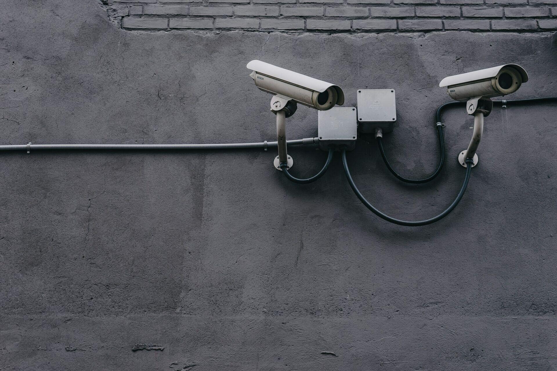
Surveillance cameras mounted on a wall form part of the satellite-connected intelligence networks that strengthen public safety monitoring worldwide.

Satellite Intelligence Flow for Public Safety

  1. 1
    Observation constellation
    SAR and optical satellites scan border zones
  2. 2
    Secure downlink
    Encrypted imagery relayed to ground stations
  3. 3
    Fusion analytics
    AI detects anomalies, crowds, vehicle movement
  4. 4
    Command centre
    Operators receive actionable alerts within minutes
Satellite imagery is encrypted, fused with AI analytics, and delivered as actionable threat intelligence to public safety command centres.