
Coast Guard Operations — Borders, Public Safety, Law Enforcement & Critical Infrastructure Security — Satellize
8.2Subsection · 5 applications

Coast Guard Operations

canonical
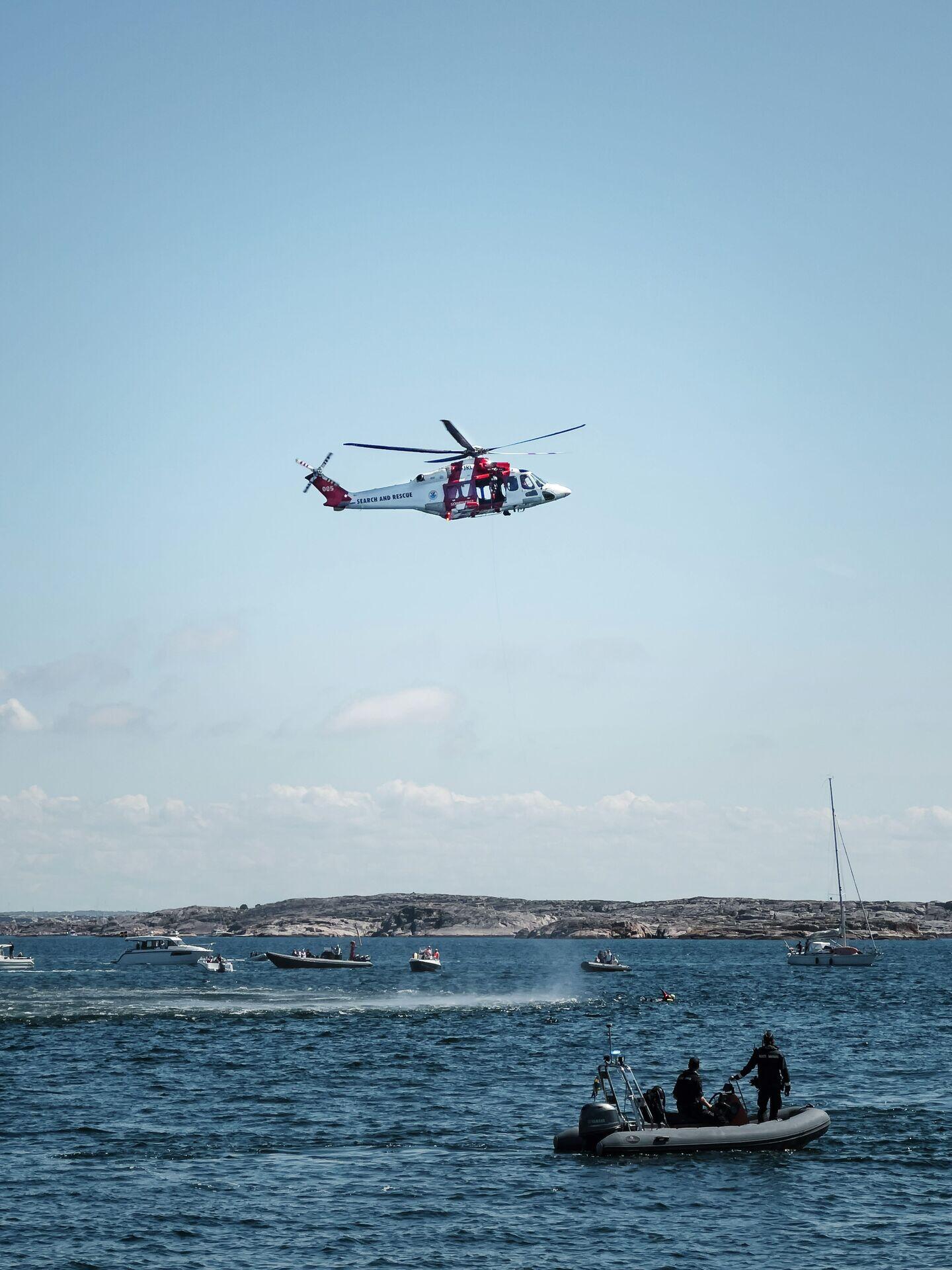
Uniformed coast guard crew on a patrol boat at sea, scanning the horizon
Helicopter and rescue boats coordinate over open ocean, illustrating how satellite guidance accelerates maritime patrol and emergency response.

Satellite-Guided Maritime Patrol and Response

  1. 1
    Constellation
    LEO AIS and SAR satellites track vessels
  2. 2
    Ground station
    Data downlinked every 90-minute orbit pass
  3. 3
    Fusion centre
    AI flags anomalous routes and dark vessels
  4. 4
    Patrol command
    Cutter crew receives intercept coordinates in real time
Satellite AIS and radar feeds flow through a fusion centre to direct coast guard cutters toward suspect vessels in real time.