
9.8.5Live
Multimodal Hub Analytics
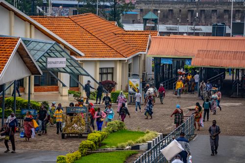
Satellite Analytics Optimising Urban Multimodal Hubs
- 1Satellite ConstellationSAR and optical satellites image hub zones
- 2Ground DownlinkRaw imagery relayed to city data centre
- 3Hub Analytics EngineAI counts vehicles, passengers, dwell times
- 4Transport OperatorsReal-time dashboards reschedule bus dispatch
Page in the build queue
This application has its place in the atlas. The full page — short and long descriptions, what-matters bullets, sovereignty rationale, and the eight-field architecture block — is being written next.
Maturity reading: Operational systems exist with paying customers. Phase 1 built §4.1 (Maritime Intelligence) end-to-end as the depth-and-format reference. Section 4 is the next section to graduate from scaffold to full content; the rest follow on the roadmap.
Related applications
- 9.8.1Urban Mobility SystemsTraffic Flow Estimation
- 9.8.2Urban Mobility SystemsPublic Transit Performance
- 9.8.3Urban Mobility SystemsCurbside Activity Mapping
- 9.1.1Smart CitiesUrban Activity Indices
- 9.1.2Smart CitiesCity Twin Updating
- 9.1.3Smart CitiesService Quality Monitoring
- 9.1.4Smart CitiesEnergy Use Mapping
- 9.1.5Smart CitiesSmart Streetlight Optimization