
Smart Ports — Oceans, Maritime, Fisheries & Blue Economy — Satellize
4.3Subsection · 6 applications

Smart Ports
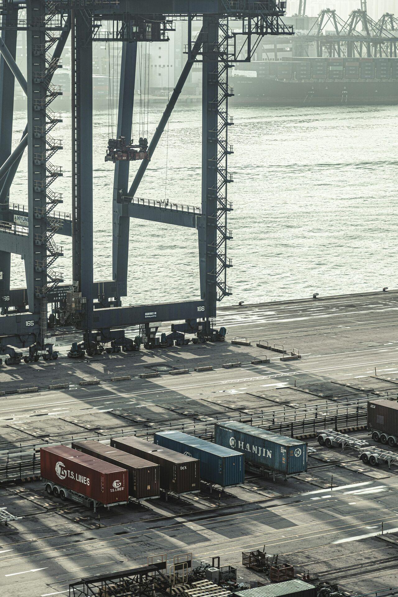
Workers and cranes loading cargo containers onto a large ship at a busy commercial port
Cargo containers stacked at the water's edge move faster and safer when satellites coordinate modern port logistics.

Satellite-Enabled Smart Port Traffic Management

  1. 1
    Constellation
    AIS and SAR satellites track vessel positions
  2. 2
    Ground station
    Maritime data downlinked every few minutes
  3. 3
    Port analytics platform
    AI predicts berth slots and congestion
  4. 4
    Port operator dashboard
    Real-time vessel ETAs guide crane scheduling
Satellite vessel-tracking feeds a port analytics platform that schedules berths and reduces idle ship waiting times.