
Maritime Security — Oceans, Maritime, Fisheries & Blue Economy — Satellize
4.6Subsection · 6 applications

Maritime Security
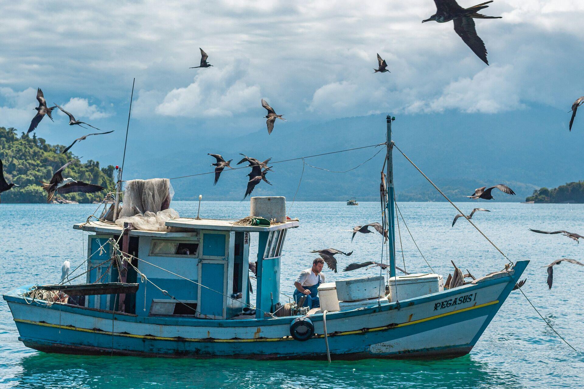
Coast guard officers in uniform on a patrol boat alongside a smaller fishing vessel at sea
Fishing boats like this one gain safer, more accountable waters through satellite AIS tracking of global maritime traffic.

Satellite AIS Tracking for Maritime Security

  1. 1
    Satellite constellation
    LEO satellites receive AIS vessel transponder signals
  2. 2
    Ground downlink
    Data relayed to coastal receiving stations every 90 min
  3. 3
    Fusion & analytics
    AI flags dark vessels and spoofed position data
  4. 4
    Maritime authority
    Coast guard dispatched via encrypted real-time alert
Satellite AIS data fused with AI analytics lets maritime authorities detect illegal vessels and coordinate rapid interception responses.