
Arctic & Polar Operations — Oceans, Maritime, Fisheries & Blue Economy — Satellize
4.8Subsection · 5 applications

Arctic & Polar Operations
Two people on a snowmobile crossing a vast expanse of sea ice in Arctic conditions
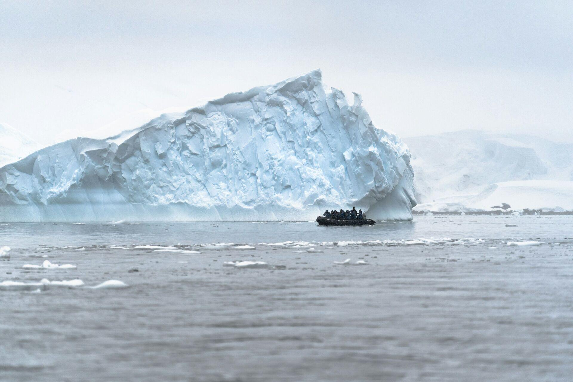
A boat navigating near an ice mountain illustrates the critical role satellite ice intelligence plays in guiding safe polar operations.

Satellite Ice Intelligence for Polar Operations

  1. 1
    SAR Constellation
    Radar satellites map sea-ice extent daily
  2. 2
    Polar Ground Station
    High-latitude downlink every 90-minute orbit
  3. 3
    Ice Analytics Hub
    AI classifies ice type, thickness, drift speed
  4. 4
    Vessel & Community
    Route alerts pushed to ship bridge and mobile
SAR satellites image Arctic ice daily, and processed charts reach vessels and remote communities within hours for safe navigation.