
Maritime Intelligence — Oceans, Maritime, Fisheries & Blue Economy — Satellize
4.1Subsection · 6 applications

Maritime Intelligence

(fully built in §6 below)
Small wooden fishing boats at sea with fishermen working nets near a tropical coastline
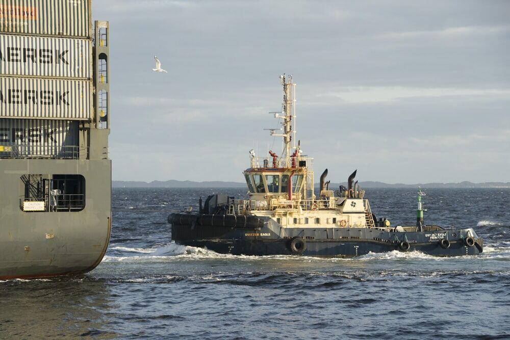
Black and gray vessels at sea represent the maritime activity that satellite intelligence monitors to protect global shipping lanes.

Satellite Maritime Intelligence: Sea to Shore

  1. 1
    Satellite Constellation
    AIS signals captured from 400 km orbit
  2. 2
    Ground Station
    Raw vessel data downlinked every 90 minutes
  3. 3
    Fusion Analytics
    AIS merged with SAR imagery, anomaly flagged
  4. 4
    Coast Guard / Fleet
    Real-time vessel tracking dashboard alert
Satellites capture AIS and radar signals at sea, fusing data onshore to deliver actionable vessel intelligence to maritime authorities.