
Tactical Geospatial Intelligence — Defence, Intelligence & Military Space — Satellize
7.2Subsection · 5 applications

Tactical Geospatial Intelligence
Soldier in camouflage uniform studying a digital map on a ruggedised tablet in an outdoor field environment
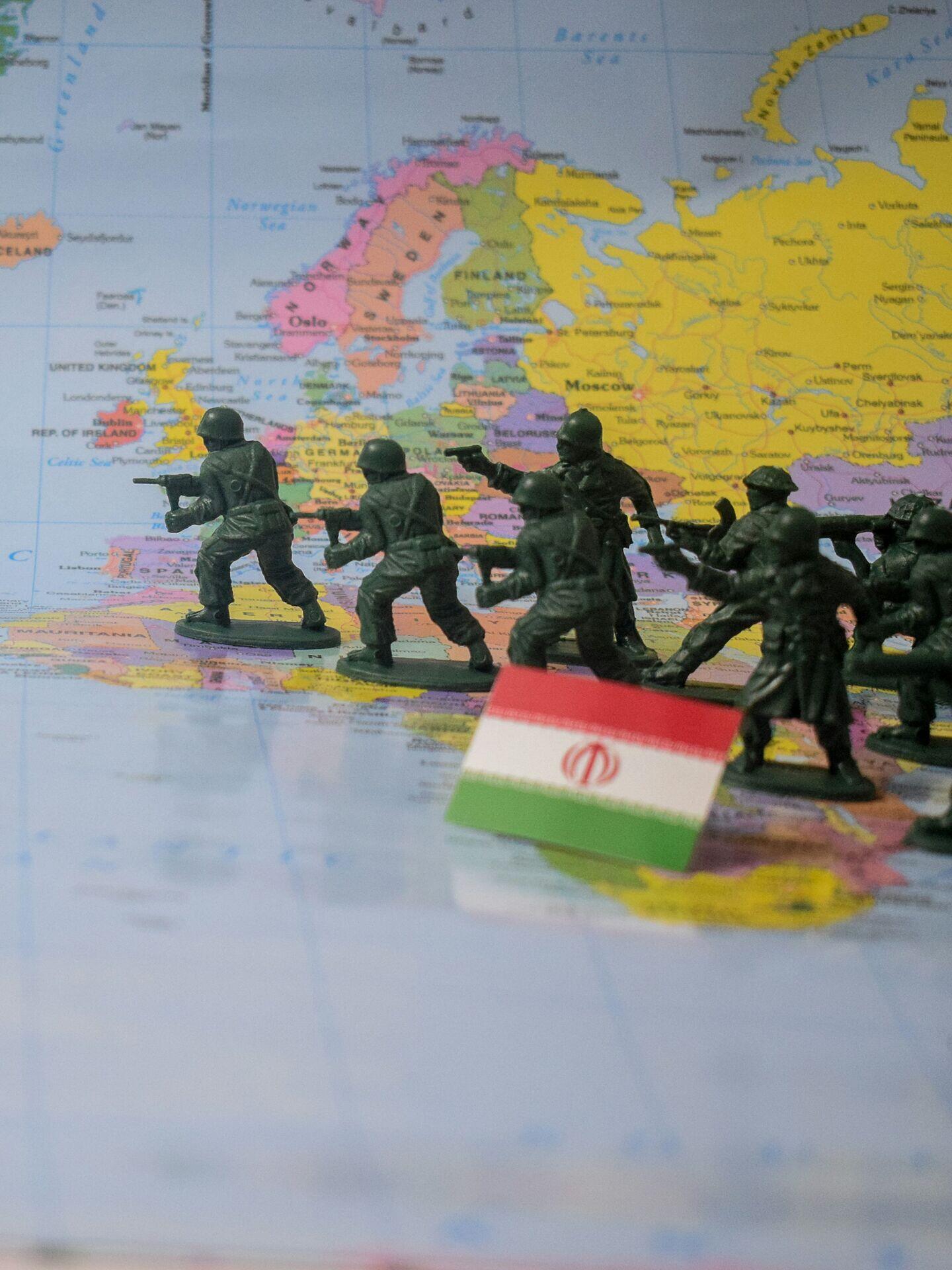
Toy soldiers advancing across a map illustrate how satellite tactical geospatial intelligence transforms strategic data into precise, life-saving operational decisions.

Satellite Tactical Geospatial Intelligence Data Flow

  1. 1
    Sensor Satellite
    SAR and optical imagery, sub-metre resolution
  2. 2
    Secure Downlink
    Encrypted X-band ground station reception
  3. 3
    GEOINT Processing
    AI change-detection, terrain feature extraction
  4. 4
    Tactical Edge
    Commander receives geo-fused situational picture
Satellite sensors collect high-resolution imagery that is downlinked, processed for threats, and delivered as actionable intelligence to field commanders.