
Surveying & Geodesy — Navigation, Positioning, Timing & Autonomous Mobility — Satellize
2.8Subsection · 5 applications

Surveying & Geodesy
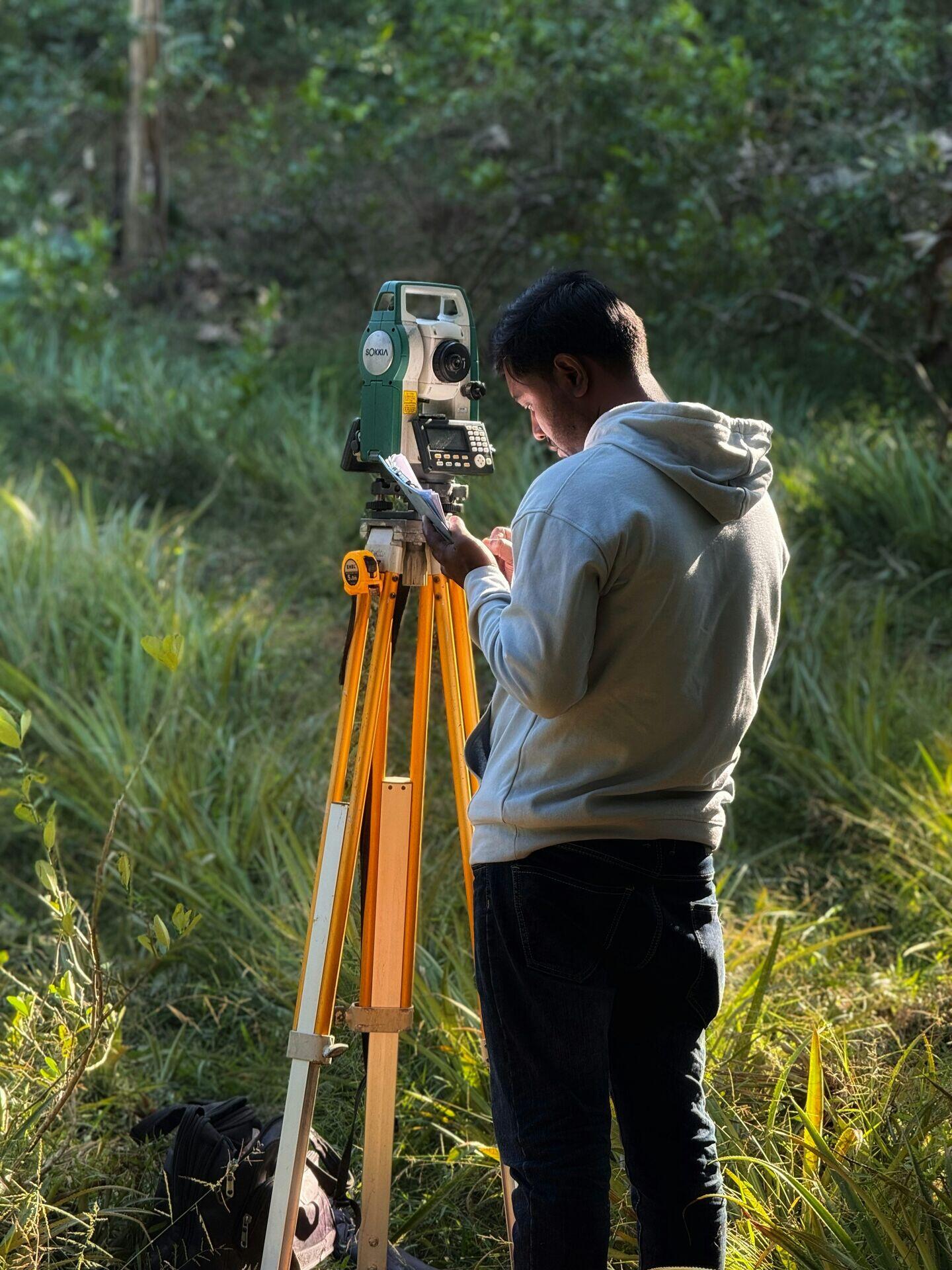
Surveyor holding a GPS rover pole on a tripod in an open field
A surveyor with a total station harnesses GNSS signals to deliver millimetre-precision measurements that shape accurate, reliable infrastructure.

GNSS Satellite Signals Drive Millimetre-Precision Surveying

  1. 1
    GNSS Constellation
    GPS, GLONASS, Galileo broadcast ranging codes
  2. 2
    Reference Station
    Fixed CORS station measures real-time corrections
  3. 3
    RTK Processing
    Carrier-phase differencing resolves centimetre positions
  4. 4
    Survey Rover
    Field crew captures boundary and elevation data
Satellite ranging signals, corrected at fixed reference stations, enable field rovers to achieve centimetre-level geodetic accuracy.