
Utility Infrastructure — Energy, Mining, Utilities & Industrial Operations — Satellize
11.6Subsection · 5 applications

Utility Infrastructure
Utility worker in high-visibility vest inspecting overhead power lines on a rural road
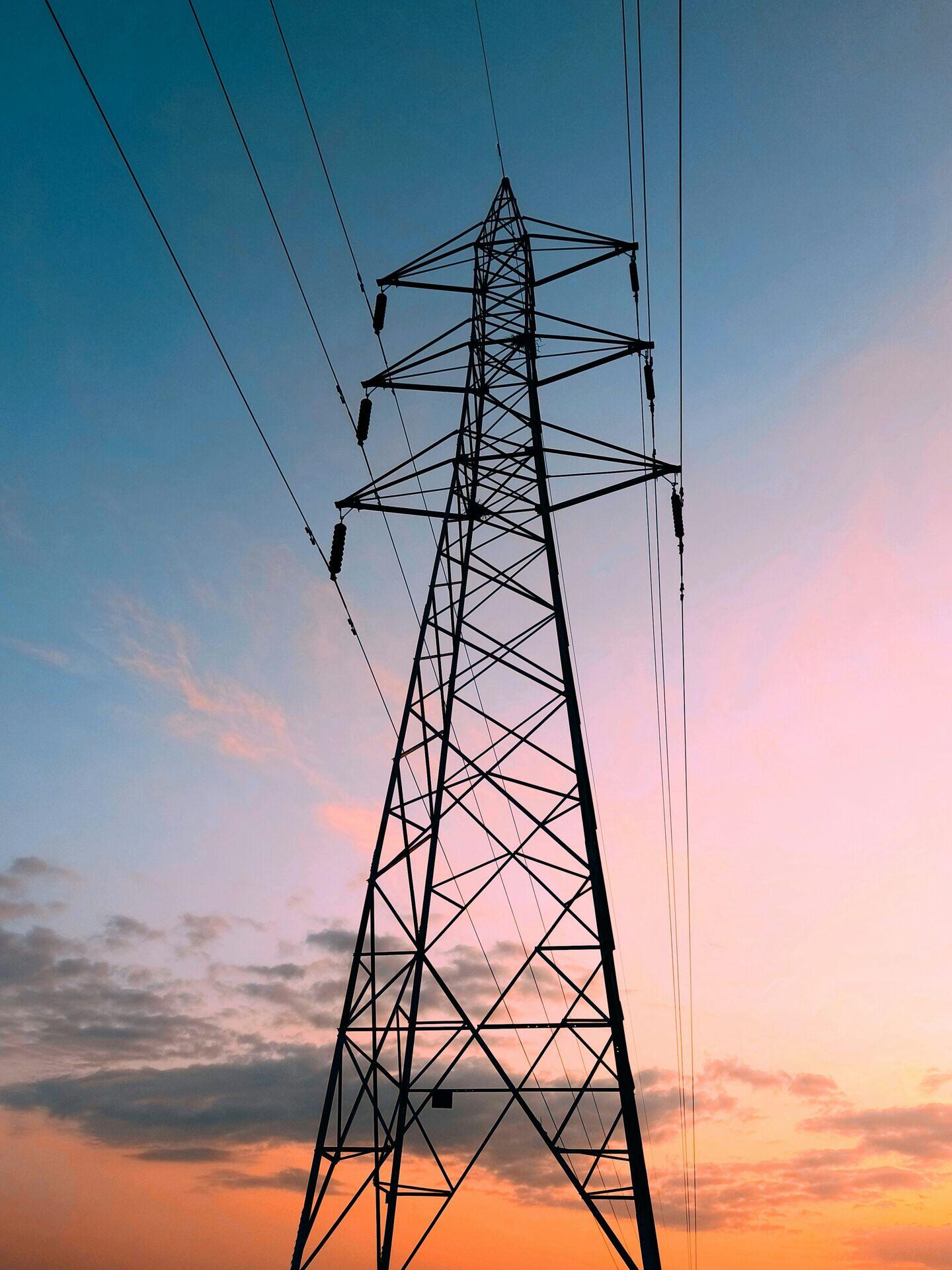
High-voltage transmission lines carry power across the landscape, where satellite monitoring helps prevent outages before they occur.

Satellite Monitoring of Utility Grid Infrastructure

  1. 1
    Satellite Constellation
    SAR and optical satellites scan corridors daily
  2. 2
    Ground Station
    Raw imagery downlinked every 90-minute pass
  3. 3
    Analytics Platform
    AI detects encroachment, corrosion, subsidence risk
  4. 4
    Utility Operator
    Maintenance crew dispatched via priority fault map
Satellites continuously image utility corridors so operators receive actionable fault alerts before infrastructure failures cascade into outages.