
Forest Intelligence — Climate, Carbon, Nature & Environmental Compliance — Satellize
5.6Subsection · 5 applications

Forest Intelligence
Forest ranger in green uniform holding tablet while standing among tall trees in tropical rainforest
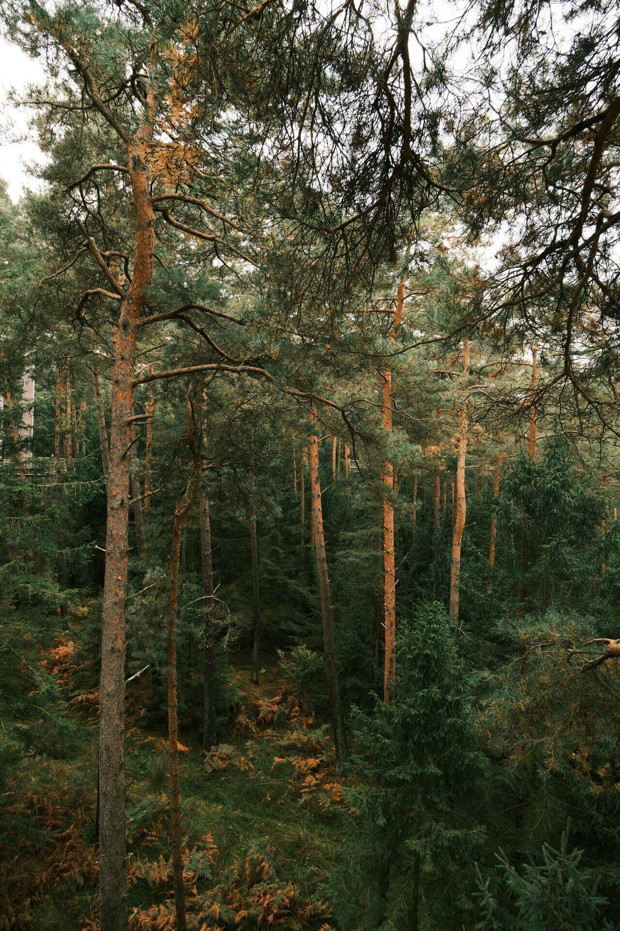
Tall pine trees in a dense forest embody the living canopy that satellite change detection monitors to protect ecosystems globally.

Satellite Forest Cover Change Detection Flow

  1. 1
    SAR & Optical Satellites
    Sentinel-1/2 imagery, 10 m resolution daily
  2. 2
    Ground Station Downlink
    Raw tiles received, timestamped, archived
  3. 3
    Change Detection Engine
    AI flags canopy loss, fire, fragmentation
  4. 4
    Ranger & Policy Alert
    Mobile push alert with GPS boundary map
Satellite radar and optical data fuse daily to pinpoint illegal clearing and deliver georeferenced alerts to forest rangers.