
Biodiversity Intelligence — Climate, Carbon, Nature & Environmental Compliance — Satellize
5.4Subsection · 5 applications

Biodiversity Intelligence
Park ranger in field gear crouching in savanna grassland, recording wildlife observations on a tablet
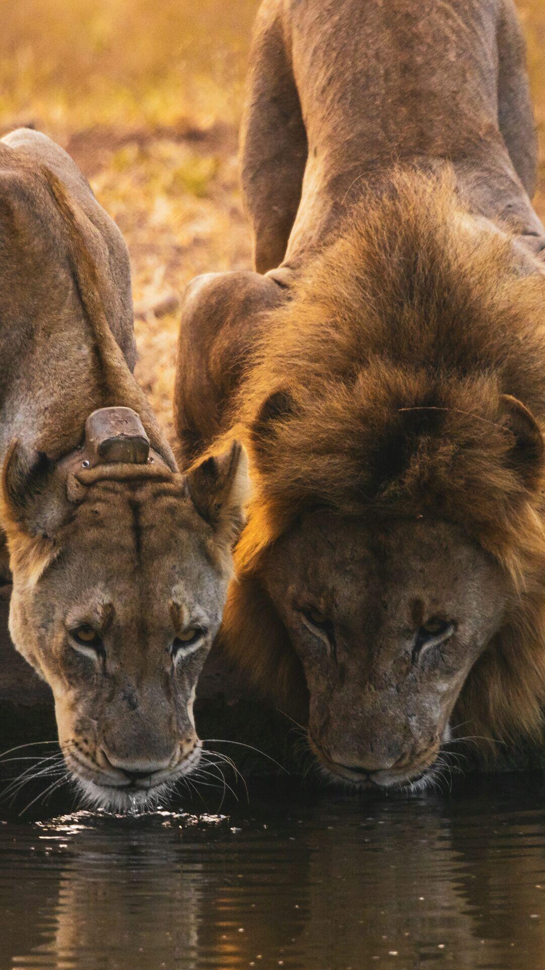
Satellite biodiversity intelligence transforms sightings of lions at a watering hole into actionable wildlife conservation data.

Satellite Biodiversity Intelligence: Field to Insight

  1. 1
    Observation
    Multispectral satellites map habitat extent daily
  2. 2
    Downlink
    Raw imagery relayed to regional ground stations
  3. 3
    AI Analysis
    Species habitat models, deforestation alerts generated
  4. 4
    Conservation Action
    Rangers and policymakers receive biodiversity risk dashboards
Satellite imagery flows through AI habitat models to deliver real-time biodiversity risk intelligence to conservation teams.