
Insurance Intelligence — Finance, Insurance, Trade & Economic Intelligence — Satellize
12.1Subsection · 5 applications

Insurance Intelligence
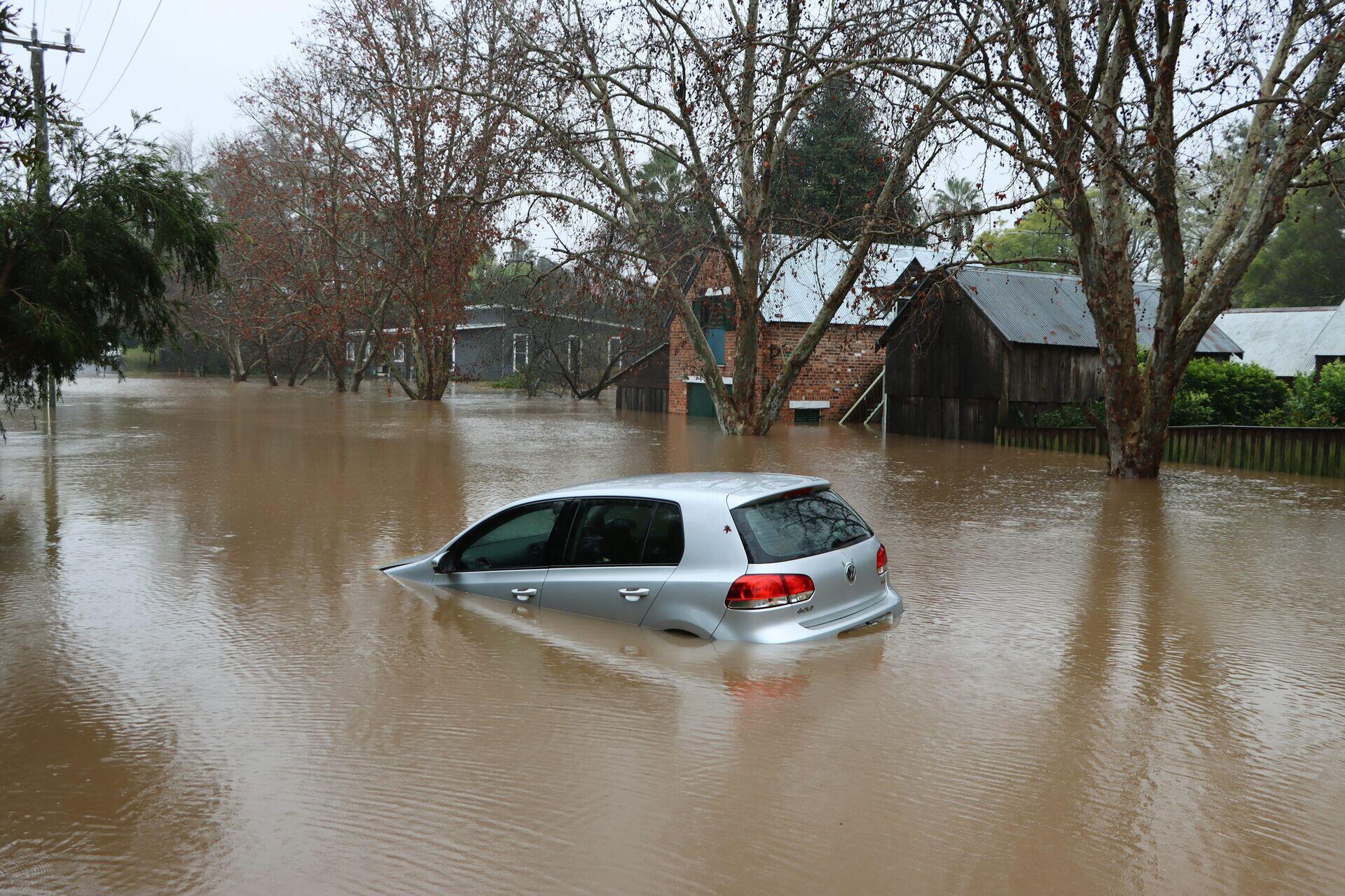
Farmer standing in waterlogged field examining damaged crops
Floodwaters overwhelming a street illustrate the climate risks that satellite-driven parametric crop insurance now helps farmers survive financially.

Satellite Data Automating Parametric Crop Insurance

  1. 1
    Observation
    SAR and optical satellites scan farmland daily
  2. 2
    Downlink
    Raw imagery transmitted to ground receiving stations
  3. 3
    Risk Analytics
    Algorithms detect drought, flood, yield loss indices
  4. 4
    Insurer & Farmer
    Automatic payout triggered via mobile money
Satellite imagery feeds parametric models that detect crop stress and trigger instant insurance payouts without field inspections.