
11.3.4Live
Illegal Mining Detection
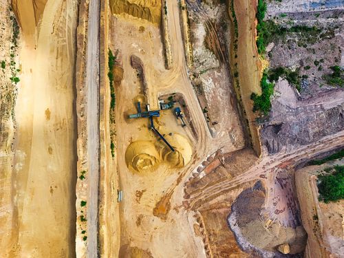
Satellite Detection of Illegal Mining Activity
- 1Satellite SensorSAR and multispectral imagery captured daily
- 2Ground StationRaw scene data downlinked within hours
- 3AI AnalysisChange detection flags new excavation scars
- 4Enforcement AlertRangers receive geo-tagged intrusion reports
Page in the build queue
This application has its place in the atlas. The full page — short and long descriptions, what-matters bullets, sovereignty rationale, and the eight-field architecture block — is being written next.
Maturity reading: Operational systems exist with paying customers. Phase 1 built §4.1 (Maritime Intelligence) end-to-end as the depth-and-format reference. Section 4 is the next section to graduate from scaffold to full content; the rest follow on the roadmap.
Related applications
- 11.3.1Mining IntelligenceMine Site Activity Monitoring
- 11.3.2Mining IntelligenceTailings Dam Surveillance
- 11.1.1Oil & Gas IntelligenceUpstream Asset Monitoring
- 11.1.2Oil & Gas IntelligenceInventory & Storage Tracking
- 11.1.3Oil & Gas IntelligenceRefinery Throughput Estimation
- 11.1.4Oil & Gas IntelligenceFlaring Detection
- 11.1.5Oil & Gas IntelligencePipeline Integrity Surveillance
- 11.2.1Renewable Energy MonitoringSolar Farm Yield Verification